Our extensive inventory of the latest hydrographic equipment provides a broad range of techniques for completing any underwater investigation or survey.
At ASI, we don’t advocate for specific technologies; we match the best possible options available and recommend a solution best tailored to your needs
Our in-house certified hydrographers, project managers and technicians use a combination of underwater technology to accurately measure and map findings in real-time. Our “Hands-on” practical experience in all facets of underwater investigations, from equipment selection to deployment and installation, data collection and recovery, and reporting, sets us apart from traditional marine service companies and equipment suppliers. Our combination of skills contained within one team is unheralded in underwater marine services.
ASI Marine employs a combination of hydrographic, marine geophysical and visual inspection techniques to conduct thorough underwater investigations.
Our marine hydrographic services include: 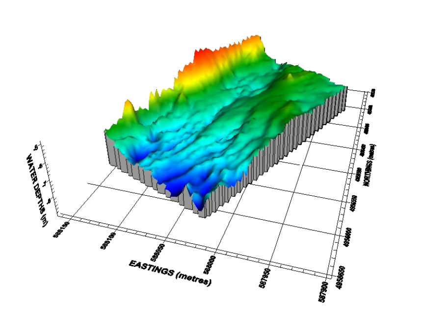
- Hydrographic surveys utilizing side scan sonar, sub-bottom profiling, bathymetry (both single-beam and multi-beam) and positioning
- Geological investigations
- Habitat mapping and archaeological surveys
- Navigation and positioning
- Dredging surveys and volumetric determination
- Underwater search, survey and recovery
- Existing and/or proposed route surveys (e.g., cable, pipeline, etc.)
- Sonar profiling/imaging surveys
- Support for current monitoring and studies
- Open-water remotely operated vehicle (ROV) investigations
- Unmanned survey vessel (USV) inspections
Request information sheets to learn more about the service offerings listed above
We pride ourselves on the ability to provide written reports, drawings and other project deliverables that are comprehensive to the end users. Like all projects we undertake, key personnel assigned to the field effort are also responsible for data processing, calculations, written reporting and drawing deliverables to the client. This cradle to grave project approach provides continuity from the proposal phase through data collection, reporting and closeout.
Our services are provided to a wide client base from private sector companies, engineering consulting firms, industrial sector companies, government agencies, and power generation providers (hydro, thermal, and nuclear sectors).

